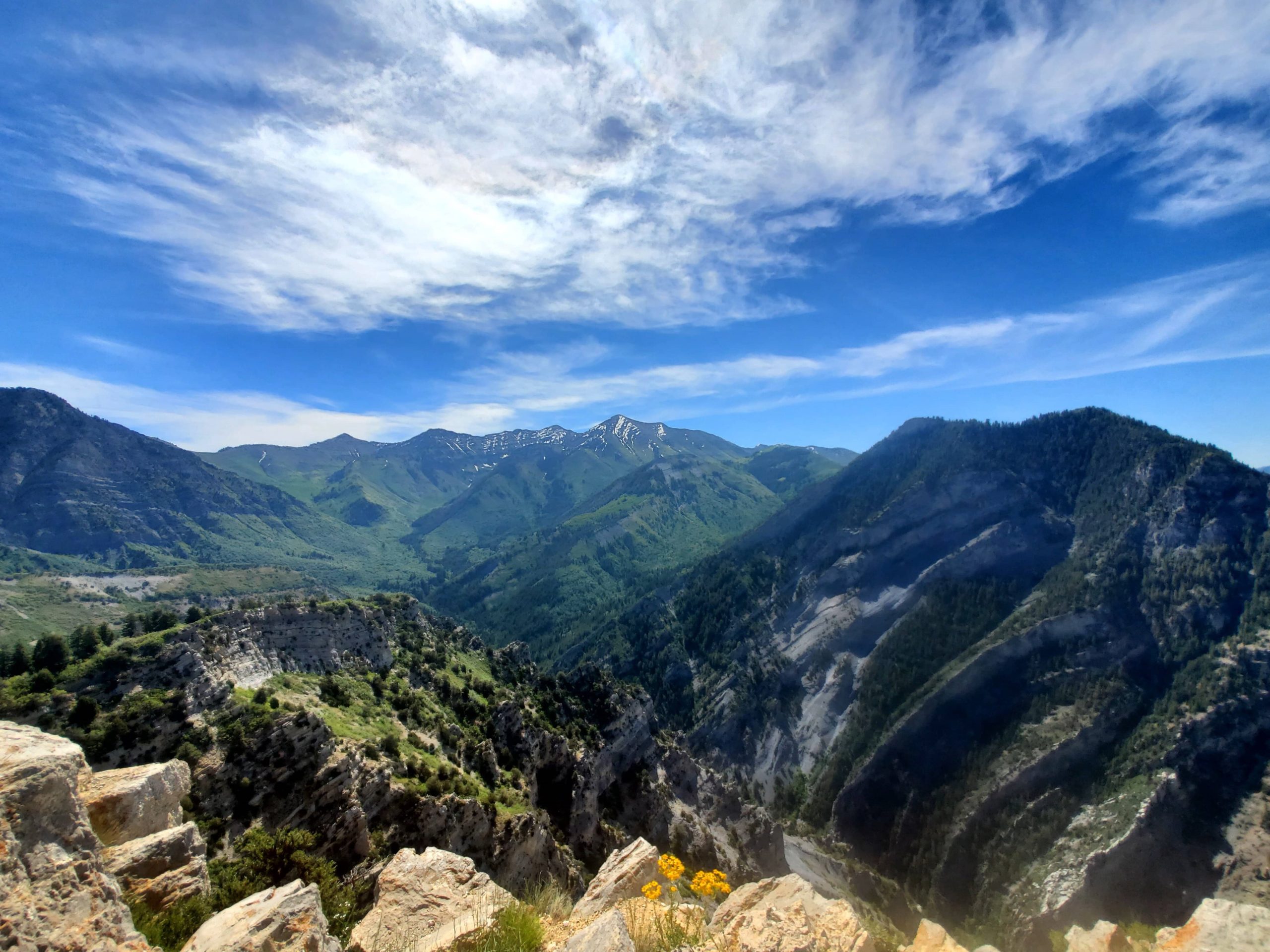
Squaw Peak at Rocky Canyon Park in Provo, Utah is 7.3 miles out and back with 2,775ft elevation. I tracked it at 7.6 miles with 2,706 elevation which took me 3h 18m hike time. I spent 1h at the summit to relax, enjoy the views and play with my tripod. This hike is rated as hard. The hike is a steady climb with a few steep jaunts for 3.3 miles till you reach the meadow at which point it levels out for a minute. The last .3/.4 miles is a epic leg workout to the summit.
The trail starts out as a rocky gravel road with little shade before turning into a rocky trail. At about the 2.6 mile mark Squaw Peak trail turns off to the left – there are no sign just some cairnes. This part is a hard dirt packed trail which weaves through the trees providing valuable shade.
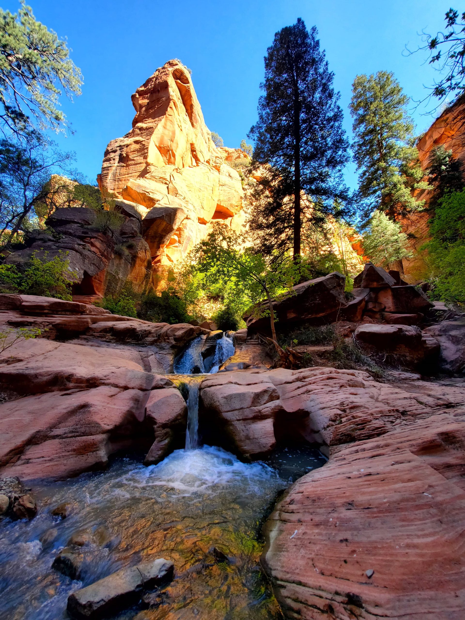
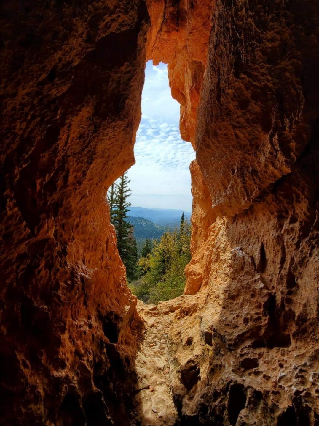
On the rocky trail section of there are 5 well-made sturdy bridges. After bridge 3 there is a cave with a small opening off to the left (you can see people have explored it). At bridge 4 there will be a dirt path off to your left which will lead you to another cave with a wide opening (this one is well explored). A little bit after the bridge you can see the cave on the left. There are several cut through if you miss the trail. The trail follows a stream which (in the summer) is dry until just past bridge 5. This is due to some piping they have in place which diverts the water.
Make sure to bring plenty of water and sun protection especially since this trail is so exposed. It also helps to leave early especially in the summer. Concerning poles they would be helpful especially if you have weak knees/ankles. Either way be careful as the first portion of the hike is loose gravely rocks.
06/11/22 Prove, Utah


